K Fellfarers - the outdoor club for people in south Cumbria
Gallery 2016 - October
Weekend meet in North Wales - At the Oread Hut at Rhyd-Ddu. A unusually small turn out for this annual meet at the Oread hut. Norman and Jenny enjoyed some mixed weather, and Norman reports - |
|
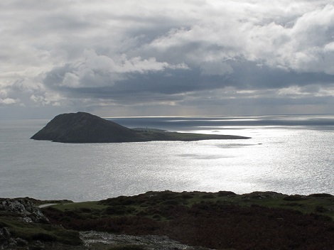 |
Bardsey Island from Mynydd Mawr |
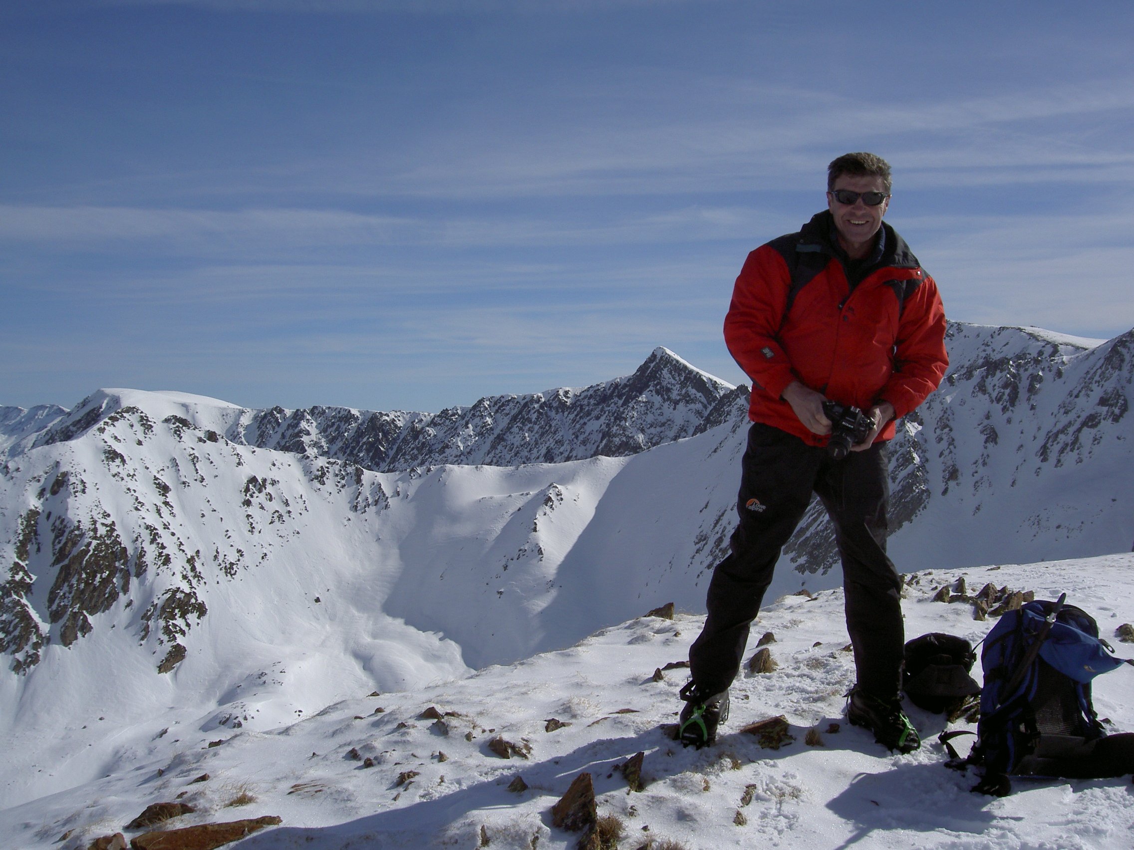
| Norman at the quarries with the Nantlle Ridge in the background | 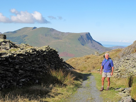 |
 |
Jenny with Snowdon and Y Llewidd in the background |
| Looking North West over Llyn Cwellyn from the summit of Y Aran | 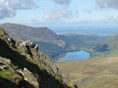 |
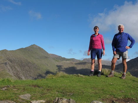 |
The entire Fellfarer team on the summit with Snowdon in the background. |
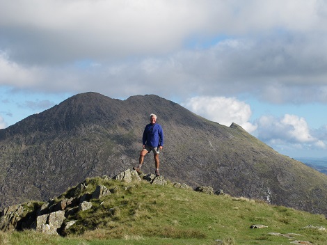
| Norman with Y Llewidd in the background. |
 |
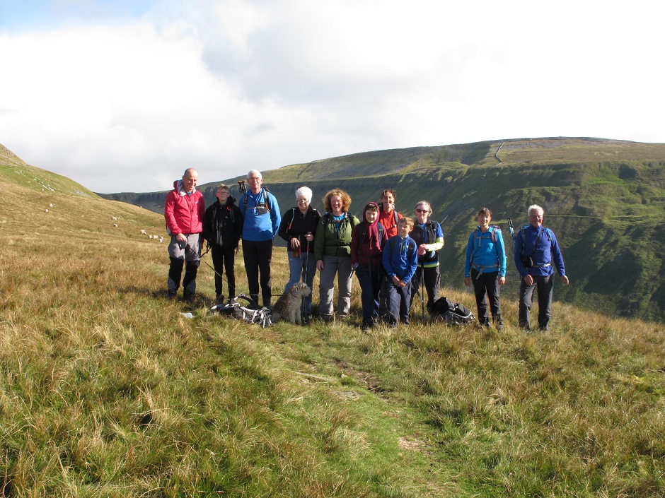
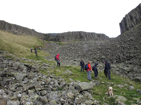
Sunday Walk - High Cup Nick from Dufton Maya While - Leader, James While + 1, Roger Atkinson, Vicky Atkinson + 2, Val Calder, Pam Heseltine, Norman Bell, Jenny Scott, plus one dog |
|
 |
|
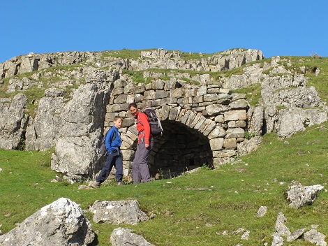 |
Vicky and one of her children
investigating a lime kiln. |
| Looking across the valley to High Cup Scar | 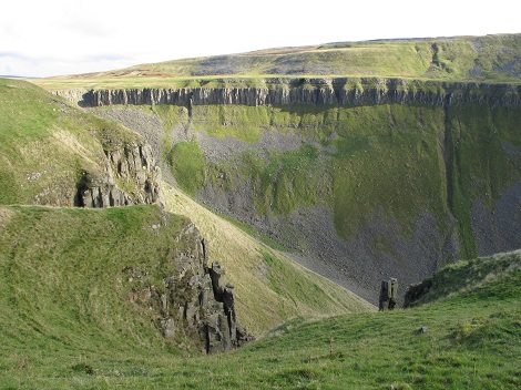 |
 |
Looking down the valley which features the predominant whinsill, with the crags made of grey-blue dolerite. |
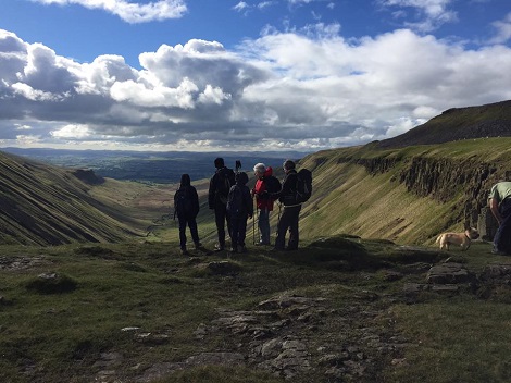
| At the 'Nick' where the Pennine Way crosses the gill. | 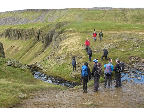 |
 |
Dropping down into the valley |
Midweek Walk The Howgills: Gaisgill and back On a beautiful day, ten members met at Carlingill Bridge and proceeded up the zigzags on Uldale Head, across Archer Moss (not too boggy) and to Archer Tarn. Then a change of plan, so instead of walking down to Gaisgill the group headed up to the top of Uldale Head. Then down to Blakethwaite Bottom which acts as the watershed between Uldale Back and Carlin Gill, and also as 'Check Point 3' on Mike's Sedbergh Fell Race. Climbing steadily upwards along the lovely path above Black Force, lunch was taken before continuing to the col between Fell Head and Knowles. Then down the green track above Fairmile Beck for a cuppa at Fairmile Bridge. A steady mile or so's walk along the line of the old Roman Road that is Fairmile Road completed a grand day out on the delightful Howgills. Thanks Mike and Adelle. |
|
.jpg) |
|
| Archer Tarn. Unnamed on the OS 25,000 map but is on the side of Archer Hill so seems an appropriate name. Supposedly the only decent area of standing water in the Howgills. | .JPG) |
.jpg) |
Above Black Force Looking down Carlin Gill |
| The final cup of tea stop near Fairmile Gate, using an old tree stump as a handy seat | 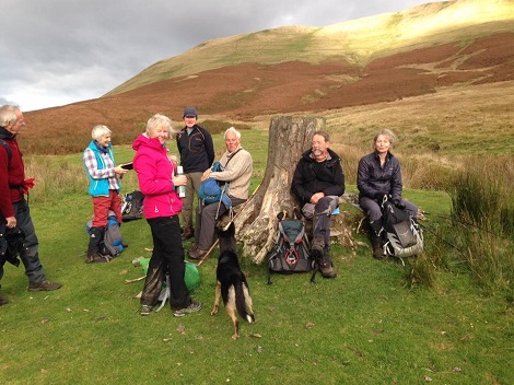 |
| ©2007 Wizard Wheeze Promotions | |